Hema Maps

Keeping yourself on-track when exploring remote destinations is key to having a safe and enjoyable off-roading experience. ARB has all your navigation needs under one roof, from HEMA Navigation units, to maps, atlases and travel guides. No matter your needs or budget with navigation, we have you covered.

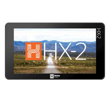
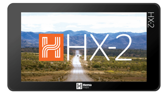
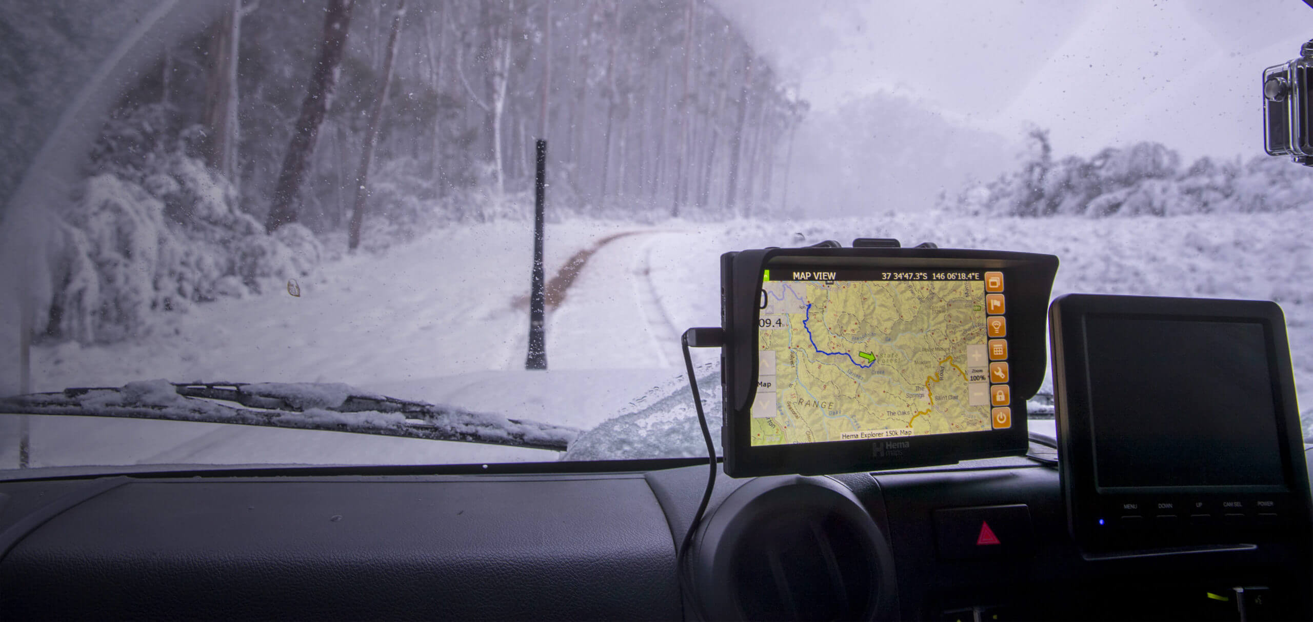
Hema HX-2 Navigator

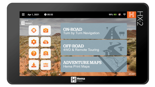
Whether you’re travelling on the road or off the beaten track, the Hema HX-2 Navigator is the perfect tool to help you reach your destination – from the initial planning of your adventures to keeping track of your experiences along the way.

The generous 7″ display paired with on and off-road navigation systems offer detailed mapping and over 40,000 Hema-verified points of interest to help guide you wherever you go.


On and off road navigation

The Hema HX-2’s on-road navigation features user-friendly, turn-by-turn instructions enhanced with 3D buildings and street numbers along with multiple route options and live traffic information (internet connection required).

With the high definition Off Road Vector Explorer Map, you’ll have complete access to 4WD Track Difficulty Classification Ratings, Topographic information such as contours and elevations, control and survey points, and sand ridges/dunes when navigating off road terrain.


Plan and share your adventures

Prepare for your trip by planning it using Hema Maps Cloud (on your computer or tablet) which will seamlessly sync with your HX-2 via Wi-Fi. You’ll have access to over 100,000 POIs, including camping sites (including free campsites, rest stops, and fuel stations) as well as dump and water points, sightseeing features, and more.

Along the way, you’ll be able to record costs and keep an eye on fuel usage as well as customise your trip as your needs change. Additionally, upload your trip photos and share your trips and tracks either as files for others to download or to feature on your social media feed.

Discover more features
View Specifications

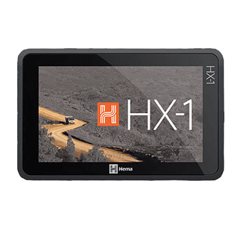
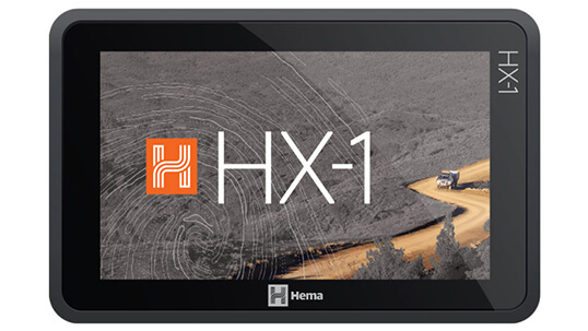
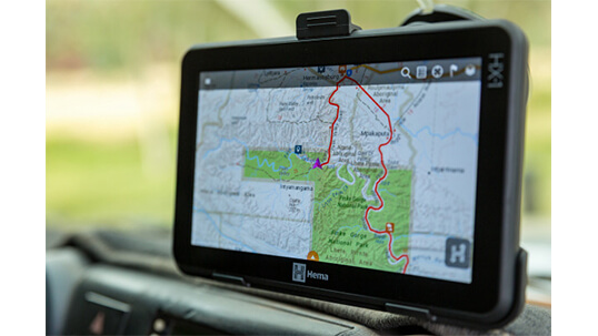
Hema HX-1 Navigator

The Hema Navigator HX-1 utilises a high-resolution display allowing you to pinch and zoom for a closer look while providing an exceptionally clear screen. Navigate all of your journeys with precise guidance and discover over 1.2 million kilometres of 4WD tracks and outback roads. Find campsites, caravan parks, facilities, supply points and much more.
Download tracks from other explorers and share your own.

Hema HX-1 Navigator Features

  • 5-megapixel camera
  • Hema Explorer Cloud
  • 7-inch multi-touch screen
  • 2 navigation modes: Drive & Explore

Drive Mode

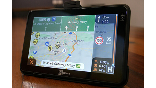
Navigate confidently throughout Australia and New Zealand with precise guidance to addresses, points of interest and coordinates in Drive mode. The drive mode is ideal for on road city navigation and features:

  • Street Mapping for Australia and New Zealand – Use for daily navigation
  • Over 6,000 Caravan Parks and campsites
  • Turn-by-turn voice guidance
  • Speed cameras, school zones, and intelligent routing

Explore Mode

Explore mode’s wide range of map sources, points of interest and tools for planning, navigating and sharing your trips makes the HX-1 the ultimate companion for confidently exploring off-road Australia while featuring:

  • Topographic Mapping
  • Trip planning and trip recording tools – Use waypoints to plan your trip
  • 45,000+ points of interests
  • Share your tracks and photos with other travellers on Hema Explorer Cloud.

Maps

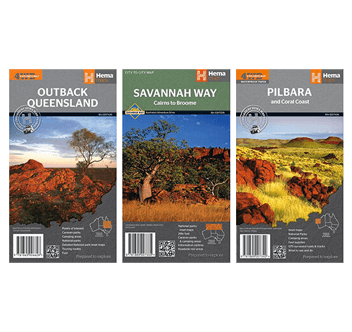
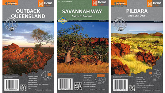
Travel maps are the perfect trip planning and navigation tool, Hema provides all kinds of travel maps: topographic and touring maps of Australia, as well as city maps, street maps and road maps, country maps and worldwide maps.

Atlases & Travel Guides

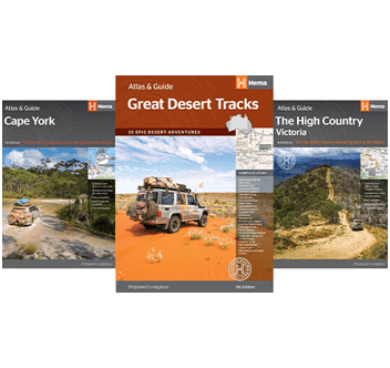
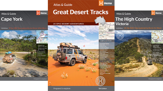
Hema has a wide range of trusted travel books, atlases and guides to help plan and navigate trips, whether it’s for a local camping weekend, an overseas travel holiday, an interstate road trip or an epic 4WD adventure.

top